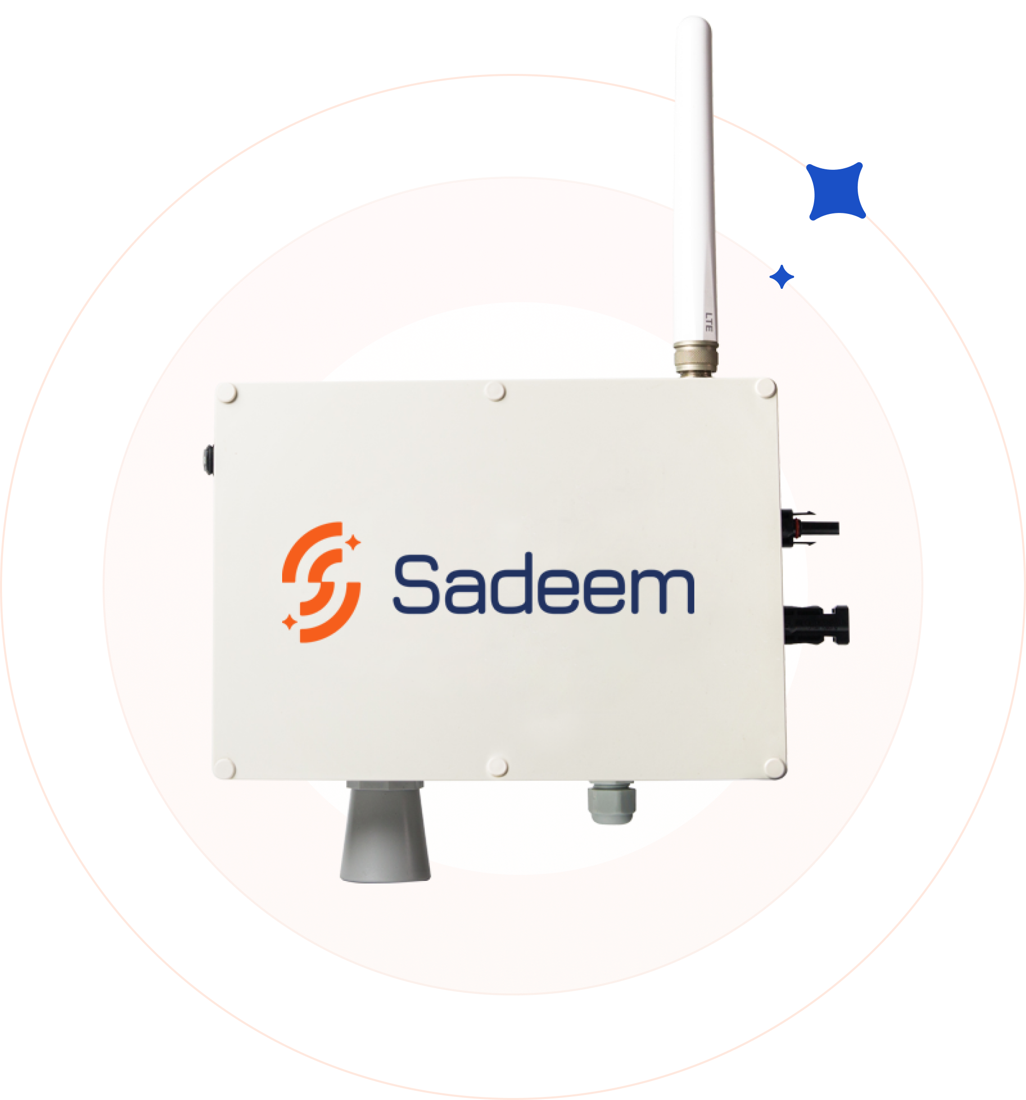
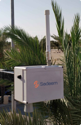
Our Equa flood monitoring system is the first technology to provide real-time flood maps, and water level information on pavement and streets of cities, even during heavy traffic. Sensor data measures flood levels, and flood propagation as well as traffic information that helps cities prepare for disaster, plan safe routes during flood evacuations, and provide critical, life-saving emergency response. Our sensor integrates seamlessly into existing systems and utilizes the Internet of Things, artificial intelligence, and wireless communication. Flood and traffic data is transmitted to a preselected database and transmits a set of alerts when
a flood incident occurs through different communication channels
(i.e. SMS, mails, GIS notifications).


